Mynydd Tarw
Hewitts of WalesMountains and hills of DenbighshireMountains and hills of PowysNuttalls

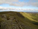
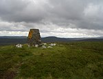
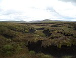
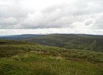
Mynydd Tarw (pronounced [ˈmənɨð ˈtaru]) is a subsidiary summit of Cadair Berwyn in north east Wales. It used to have a top: Rhos which has now been deleted as a Nuttall. The summit has a large shelter cairn. The views are extensive, with the lower; northern and western Berwyns visible, including Pen Bwlch Llandrillo. Cadair Berwyn, Godor, Moel yr Ewig and Foel Wen are also in view.
Excerpt from the Wikipedia article Mynydd Tarw (License: CC BY-SA 3.0, Authors, Images).Mynydd Tarw
Geographical coordinates (GPS) Address Nearby Places Show on map
Geographical coordinates (GPS)
| Latitude | Longitude |
|---|---|
| N 52.88011 ° | E -3.38191 ° |
Address
Llanrhaeadr-ym-Mochnant
, Llanrhaeadr-ym-Mochnant
Wales, United Kingdom
Open on Google Maps


