Walterstone

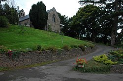
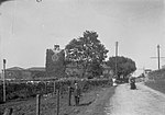
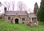
Walterstone (Welsh: Alt-yr-Ynys) is a village and civil parish in Herefordshire, England, near the Welsh border and the Brecon Beacons National Park, 14 miles (23 km) south-west of Hereford. The parish had a population of 97 in the 2001 UK Census and is grouped with Craswall, Llanveynoe and Longtown to form Longtown Group Parish Council for administrative purposes.There is a motte-and-bailey castle in the village to the west of St Mary's church and an Iron Age hill fort on high ground two-thirds of a mile (1.1 km) to the east. The River Monnow and the Welsh Marches railway line share a valley south-east of the village.Allt Yr Ynys, a Grade II listed 16th-century manor house 1+1⁄4 miles (2.0 km) south of the village, has been a country house hotel. The Grade II listed parish church of St Mary is part of the Ewyas Harold group of parishes. In the chancel, there is early 17th-century stained-glass depicting the quartered arms of the Cecils, brought from the nearby Allt Yr Ynys. The churchyard cross is listed Grade II*.The 300-year-old village pub, the Carpenter's Arms, is situated next to the church and has been in the same family for the last 100 years.In the 18th century, a Roman mosaic was reported to have been found in the parish. The exact site is not known but is thought to be in the Coed-y-Grafel area north of the village.In the 1870s the Imperial Gazetteer recorded the area of the village as 1,241 acres (502 ha) with a population of 173.
Excerpt from the Wikipedia article Walterstone (License: CC BY-SA 3.0, Authors, Images).Walterstone
Geographical coordinates (GPS) Address Nearby Places Show on map
Geographical coordinates (GPS)
| Latitude | Longitude |
|---|---|
| N 51.919 ° | E -2.961 ° |
Address
HR2 0DU
England, United Kingdom
Open on Google Maps


