Chelford
Cheshire geography stubsCivil parishes in CheshireVillages in Cheshire

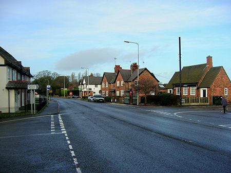
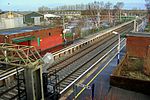
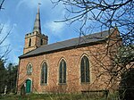
Chelford is a village and civil parish in Cheshire, England, near to the junction of the A537 and A535 roads six miles (10 km) west of Macclesfield and six miles south-east of Knutsford, and is part of the Tatton constituency. The civil parish includes the hamlet of Astle. It is served by Chelford railway station on the line between Crewe and Manchester. At the 2011 census, Chelford had a population of 1,174.
Excerpt from the Wikipedia article Chelford (License: CC BY-SA 3.0, Authors, Images).Chelford
Knutsford Road,
Geographical coordinates (GPS) Address Nearby Places Show on map
Geographical coordinates (GPS)
| Latitude | Longitude |
|---|---|
| N 53.27 ° | E -2.279 ° |
Address
Knutsford Road
Knutsford Road
SK11 9GA , Chelford
England, United Kingdom
Open on Google Maps


