Handbridge

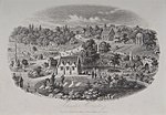
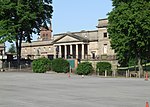
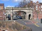
Handbridge is a district of Chester, England on the south bank of the River Dee. A settlement has existed on the site since the Iron Age, but the site saw major expansion during the collapse of the Roman occupation of Britain, as the city grew too large for its walls. The site was originally mainly a quarry for the abundant red sandstone that much Chester is built from, but in later years became a centre for salmon fishing in the Dee. The area runs continuously into Queens Park. Within Handbridge there is a primary school, Overleigh St Mary's, and two secondary schools: Chester Catholic High School and Queens Park High School. There are also colleges, Cheshire College - South and West, formerly known as West Cheshire College and Chester International School (CIS) that provides a range of courses including International Baccalaureate.
Excerpt from the Wikipedia article Handbridge (License: CC BY-SA 3.0, Authors, Images).Handbridge
Eaton Road, Chester Handbridge
Geographical coordinates (GPS) Address Phone number Website Nearby Places Show on map
Geographical coordinates (GPS)
| Latitude | Longitude |
|---|---|
| N 53.18 ° | E -2.89 ° |
Address
Cheshire College South and West - Chester Campus
Eaton Road
CH4 7ER Chester, Handbridge
England, United Kingdom
Open on Google Maps


