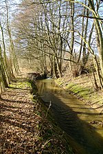
Ravensberg Basin
Geography of North Rhine-WestphaliaGütersloh (district)Herford (district)LippeNatural regions of the Lower Weser Uplands ... and 1 more
Regions of North Rhine-Westphalia

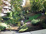
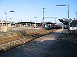
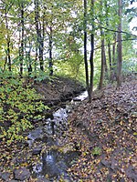
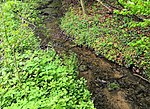
The Ravensberg Basin (German: Ravensberger Mulde) or Ravensberg Hills (Ravensberger Hügelland) is a natural region in the governorate of Detmold (Ostwestfalen-Lippe) in the northeastern part of the German state of North Rhine-Westphalia; small elements also fall within the neighbouring state of Lower Saxony. It is part of the lower Weser Uplands and includes the hilly basin country between the Wiehen Hills in the north, Lippe Uplands in the east, Teutoburg Forest in the south and Osnabrück Hills in the west. The heart of the Ravensberg Basin is almost coincident with the cultural region of the Ravensberg Land.
Excerpt from the Wikipedia article Ravensberg Basin (License: CC BY-SA 3.0, Authors, Images).Ravensberg Basin
Auf der Freiheit,
Geographical coordinates (GPS) Address Nearby Places Show on map
Geographical coordinates (GPS)
| Latitude | Longitude |
|---|---|
| N 52.116666666667 ° | E 8.6666666666667 ° |
Address
Auf der Freiheit
Auf der Freiheit
32052 , Radewig
North Rhine-Westphalia, Germany
Open on Google Maps

