Cleeve Hill, Gloucestershire
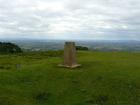
Cleeve Hill (also known as Cleeve Cloud) is the highest point both of the Cotswolds hill range and of the county of Gloucestershire, at 330 m (1,080 ft). It is located on Cleeve Common which is a Site of Special Scientific Interest (SSSI) looked after by a small charity called Cleeve Common Trust (formally Cleeve Common Board of Conservators). It commands a clear view to the west, over Cheltenham and the racecourse, over the River Severn and into Wales; and to the north over Winchcombe. It is a conspicuous outcrop on the edge of the limestone escarpment, (sometimes called the "Cotswold Edge"). It is crossed by the Cotswold Way footpath. With the hill's south slopes draining to the River Coln, Cleeve Hill is the highest point in the drainage basin of the River Thames.
Excerpt from the Wikipedia article Cleeve Hill, Gloucestershire (License: CC BY-SA 3.0, Authors, Images).Cleeve Hill, Gloucestershire
Noverton Lane,
Geographical coordinates (GPS) Address Nearby Places Show on map
Geographical coordinates (GPS)
| Latitude | Longitude |
|---|---|
| N 51.92 ° | E -2.007 ° |
Address
Upper Hill Farm B&B
Noverton Lane
GL54 4EU , Southam
England, United Kingdom
Open on Google Maps


