Älpelekopf (Gerstruben)
Bavaria geography stubsMountains of BavariaMountains of the Alps

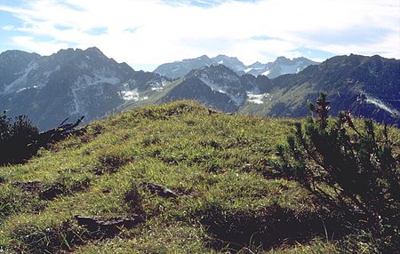
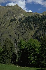
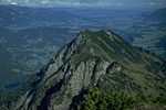
Älpelekopf is a mountain with an elevation of 1,606 m (5,269 ft) in the Alps. Älpelekopf has a secondary peak situated on a ridge which runs southwest from Riffenkopf to Schrofen at which point the ridge falls off steeply. The ridges connecting Riffenkopf, Hahnenkopf and Wannenkopf form a ring around the valley Gerstruber Älpeles. This valley has a deserted cabin and was formerly used as a pastoral area. There's a second cabin to the north, called Lugenalpe which is in current use. There is no marked path up to the summit. It can be summited via Gerstruber Älpele, but the trail requires technical experience. Älpelekopf is not a typical tourist destination.
Excerpt from the Wikipedia article Älpelekopf (Gerstruben) (License: CC BY-SA 3.0, Authors, Images).Älpelekopf (Gerstruben)
Rautweg, Oberstdorf
Geographical coordinates (GPS) Address Nearby Places Show on map
Geographical coordinates (GPS)
| Latitude | Longitude |
|---|---|
| N 47.376111111111 ° | E 10.313888888889 ° |
Address
Rautweg
87561 Oberstdorf
Bavaria, Germany
Open on Google Maps


