Mont Poupet
Jura (department) geography stubsMountains of Bourgogne-Franche-Comté

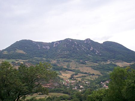
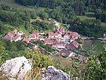
Mont Poupet is a mountain in the Jura Mountains, Bourgogne-Franche-Comté, eastern France. With an elevation of 851 metres (2,792 ft), it is located in the commune of Saint-Thiébaud. From up there you can look down over the whole valley of Salins-les-Bains. The mountain is mostly composed of limestone.
Excerpt from the Wikipedia article Mont Poupet (License: CC BY-SA 3.0, Authors, Images).Mont Poupet
Chemin de l'Âne, Dole
Geographical coordinates (GPS) Address Nearby Places Show on map
Geographical coordinates (GPS)
| Latitude | Longitude |
|---|---|
| N 46.972222222222 ° | E 5.8869444444444 ° |
Address
Chemin de l'Âne
39110 Dole
Bourgogne-Franche-Comté, France
Open on Google Maps


