Belconnen, Australian Capital Territory

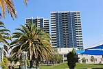
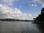
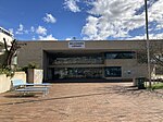
Belconnen (postcode: 2617) is the most inner suburb of the larger district of Belconnen in Canberra, Australia. Sharing its name with the larger district which encapsulates it, the suburb is surrounded with well developed infrastructure, and planning which allows it sunset views from the Brindabellas on its western side. The suburb contains important amenities for the District of Belconnen including the Belconnen Town Centre and Lake Ginninderra as well as its own well populated residential areas. It is bounded by Ginninderra Drive, Aikman Drive, Eastern Valley Way, Belconnen Way and Coulter Drive. It has a number of parks such as Margaret Timpson Park, (within the town centre) Eastern Valley Oval (on the lower slope of Emu Ridge) and on the foreshores of Lake Ginninberra, Diddams Close Park and John Knight Memorial Park. The name Belconnen has been associated with the district since the days of the early settlers. In the city of Canberra, suburbs are assigned street names that reflect a distinct sub-group of cultural or historical Australian significance. The streets in the suburb of Belconnen are named for Lord Mayors and Mayors.
Excerpt from the Wikipedia article Belconnen, Australian Capital Territory (License: CC BY-SA 3.0, Authors, Images).Belconnen, Australian Capital Territory
Belconnen Bikeway,
Geographical coordinates (GPS) Address Nearby Places Show on map
Geographical coordinates (GPS)
| Latitude | Longitude |
|---|---|
| N -35.237 ° | E 149.065 ° |
Address
Belconnen Bikeway
2617 , Belconnen
Australia
Open on Google Maps


