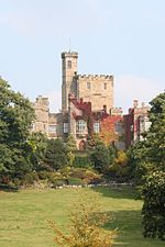
Roeburndale
Civil parishes in LancashireForest of BowlandGeography of the City of LancasterLancashire geography stubs

Roeburndale is a civil parish in the City of Lancaster and the English county of Lancashire. In 2001 it had a population of 76. In the 2011 census Roeburndale was grouped with Claughton. The parish includes the village of Salter. The River Roeburn flows through the parish.
Excerpt from the Wikipedia article Roeburndale (License: CC BY-SA 3.0, Authors, Images).Roeburndale
Lancaster Roeburndale
Geographical coordinates (GPS) Address Nearby Places Show on map
Geographical coordinates (GPS)
| Latitude | Longitude |
|---|---|
| N 54.066 ° | E -2.6111 ° |
Address
LA2 9LN Lancaster, Roeburndale
England, United Kingdom
Open on Google Maps


