Wahl, Luxembourg
Former communes of LuxembourgLuxembourg geography stubsPages with disabled graphsVillages in Luxembourg

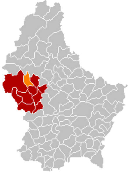
Wahl (Luxembourgish: Wal) is a former commune and small village in western Luxembourg, in the canton of Redange. Wahl, which lies in the south of the commune, has a population of 220. Other villages within the commune include Buschrodt and Grevels. The commune administration for the three villages is located in Wahl's historic school building.
Excerpt from the Wikipedia article Wahl, Luxembourg (License: CC BY-SA 3.0, Authors, Images).Wahl, Luxembourg
Rue Principale, Groussbus-Wal
Geographical coordinates (GPS) Address Nearby Places Show on map
Geographical coordinates (GPS)
| Latitude | Longitude |
|---|---|
| N 49.8358 ° | E 5.9056 ° |
Address
Rue Principale 38A
8838 Groussbus-Wal
Luxembourg
Open on Google Maps


