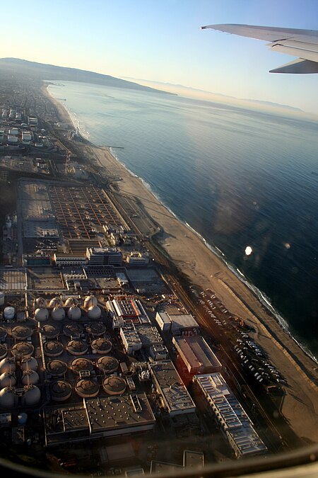
El Porto, Manhattan Beach, California

El Porto is a beach community that is part of northernmost Manhattan Beach, a city in the South Bay area of Greater Los Angeles in Southern California. The boundary of El Porto is 45th Street on the north side, which is the border with El Segundo, and its Chevron oil refinery, to 38th Street, which was the old border with Manhattan; the east-west boundary is Crest Drive, next to the fence of El Segundo's oil refinery, to El Porto State Beach and the Pacific Ocean. The commercial section of El Porto is along Highland Avenue, which is its only main thoroughfare. North of 45th Street, Highland becomes Vista Del Mar Boulevard, which runs along the coast to Playa del Rey. Residents of El Porto are currently zoned to Grandview Elementary School by the Manhattan Beach Unified School District. Fire and Police Services are generally provided by the downtown police and fire facility.
Excerpt from the Wikipedia article El Porto, Manhattan Beach, California (License: CC BY-SA 3.0, Authors, Images).El Porto, Manhattan Beach, California
Highland Avenue,
Geographical coordinates (GPS) Address Nearby Places Show on map
Geographical coordinates (GPS)
| Latitude | Longitude |
|---|---|
| N 33.903274 ° | E -118.419039 ° |
Address
Highland Avenue 4017
90266
California, United States
Open on Google Maps


