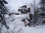
Rauher Jakob
Hills of the HarzMountains and hills of Saxony-AnhaltSaxony-Anhalt geography stubs
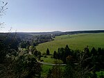
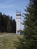
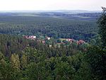
The Rauher Jakob (literally "Rough James") is a hilltop between Tanne and Elend in the Harz mountains of central Germany. It is 568.6 metres above sea level. In the vicinity are the sources of the Spielbach and Allerbach, two tributary streams of the Warme Bode. The Ramsenhöhe is a sub-peak of the Rauher Jakob with a height of 565 metres AMSL.
Excerpt from the Wikipedia article Rauher Jakob (License: CC BY-SA 3.0, Authors).Rauher Jakob
Holzeneschenweg, Oberharz am Brocken
Geographical coordinates (GPS) Address Nearby Places Show on map
Geographical coordinates (GPS)
| Latitude | Longitude |
|---|---|
| N 51.72361 ° | E 10.70306 ° |
Address
Holzeneschenweg
Holzeneschenweg
38875 Oberharz am Brocken
Saxony-Anhalt, Germany
Open on Google Maps
