St. Mark's Greenbelt
Geography of SeattleParks in Seattle

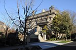
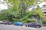
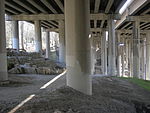
The St. Marks Green Belt, in Seattle, Washington, borders East Blaine Street to the west, 10th Ave East to the east. The northern and southern borders are vague at best mixed with trees and houses. The greenbelt helps buffer the noise from I-5 from Capitol Hill. A trail entrance at the Lefler House parking lot leads through the green belt looping back to the other end of the parking lot. A small creek runs through the center of the western portion of the greenbelt weaving through corrugated pipes above and underground.
Excerpt from the Wikipedia article St. Mark's Greenbelt (License: CC BY-SA 3.0, Authors, Images).St. Mark's Greenbelt
Saint Mark's Greenbelt Trail, Seattle Capitol Hill
Geographical coordinates (GPS) Address Nearby Places Show on map
Geographical coordinates (GPS)
| Latitude | Longitude |
|---|---|
| N 47.631111111111 ° | E -122.32194444444 ° |
Address
Saint Mark's Greenbelt Trail
Saint Mark's Greenbelt Trail
98102 Seattle, Capitol Hill
Washington, United States
Open on Google Maps


