Erringden
Civil parishes in West YorkshireUse British English from January 2020West Yorkshire geography stubs

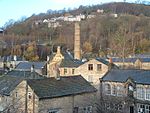
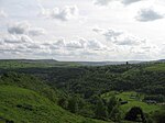
Erringden is a civil parish in the Metropolitan Borough of Calderdale in West Yorkshire, England. Previously it was a township within the chapelry of Heptonstall.
Excerpt from the Wikipedia article Erringden (License: CC BY-SA 3.0, Authors, Images).Erringden
Spencer Lane, Calderdale Erringden
Geographical coordinates (GPS) Address Nearby Places Show on map
Geographical coordinates (GPS)
| Latitude | Longitude |
|---|---|
| N 53.734 ° | E -2.011 ° |
Address
Spencer Lane
Spencer Lane
HX7 6JG Calderdale, Erringden
England, United Kingdom
Open on Google Maps


