Henri-Chapelle
Former municipalities of Liège ProvinceWelkenraedt

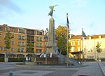
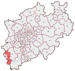
Henri-Chapelle (Walloon: Hinri-Tchapele, Dutch: Hendrik-Kapelle, German: Heinrichskapelle, Limburgish: Kapäl) is a village of Wallonia and a district of the municipality of Welkenraedt, located in the province of Liège, Belgium. It is located 17 kilometers south-west of the spa and border city of Aachen. Just 300 metres (1,000 ft) west of the town, near the water tower, is the highest point in the Herve plateau, at 354 metres (1,161 ft) above sea level. Henri-Chapelle was its own municipality until January 1, 1977 when it was merged with Welkenraedt as part of the fusion of the Belgian municipalities. Its postal code is 4841.
Excerpt from the Wikipedia article Henri-Chapelle (License: CC BY-SA 3.0, Authors, Images).Henri-Chapelle
Rue Vivier,
Geographical coordinates (GPS) Address Nearby Places Show on map
Geographical coordinates (GPS)
| Latitude | Longitude |
|---|---|
| N 50.683333333333 ° | E 5.9333333333333 ° |
Address
Les Viviers Golf & Country Club Henri-Chapelle
Rue Vivier 3
4841
Liège, Belgium
Open on Google Maps


