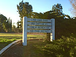
Rancho El Conejo
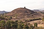
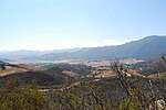
Rancho El Conejo was a 48,572-acre (196.56 km2) Spanish land grant in California given in 1803 to Jose Polanco and Ygnacio Rodriguez that encompassed the area now known as the Conejo Valley in southeastern Ventura and northwestern Los Angeles Counties. El Conejo is Spanish for "The Rabbit", and refers to the many rabbits common to the region (the desert cottontail and brush rabbit species). The east-west grant boundaries approximately went from the border of Westlake Village near Lindero Canyon Road in the east to the Conejo Grade (the top of the hill along the 101 Freeway looking down into Camarillo) in the west. The north-south borders extended from the top of the Simi Hills at the end of Moorpark Road in the north to Hidden Valley in the Santa Monica Mountains in the south. The rancho is the site of the communities of Newbury Park, Thousand Oaks, and Westlake Village.
Excerpt from the Wikipedia article Rancho El Conejo (License: CC BY-SA 3.0, Authors).Rancho El Conejo
Calle Compo, Lynn Ranch
Geographical coordinates (GPS) Address Nearby Places Show on map
Geographical coordinates (GPS)
| Latitude | Longitude |
|---|---|
| N 34.2 ° | E -118.9 ° |
Address
Calle Compo 898
91360 Lynn Ranch
California, United States
Open on Google Maps
