Eisenstadt-Umgebung District
Burgenland geography stubsDistricts of BurgenlandEisenstadt-Umgebung District
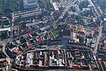
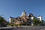
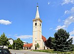
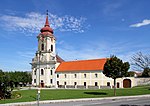
The Bezirk Eisenstadt-Umgebung (Croatian: Kotar Željezno-okolica; Hungarian: Kismarton Járás) is an administrative district (Bezirk) in the federal state of Burgenland, Austria. The area of the district is 455.5 km2, with a population of 44,257 (2022), and a population density of 98 persons per km2. The administrative center of the district is Eisenstadt (Croatian: Željezno), itself a statutory city outside of the district.
Excerpt from the Wikipedia article Eisenstadt-Umgebung District (License: CC BY-SA 3.0, Authors).Eisenstadt-Umgebung District
Krautgartenweg,
Geographical coordinates (GPS) Address Nearby Places Show on map
Geographical coordinates (GPS)
| Latitude | Longitude |
|---|---|
| N 47.838 ° | E 16.54 ° |
Address
Krautgartenweg
Krautgartenweg
7000
Burgenland, Austria
Open on Google Maps


