Coleorton Wood
Leicestershire geography stubsParks and open spaces in Leicestershire
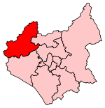
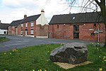
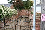
Coleorton Wood is a woodland in the village of Coleorton, near Coalville in northwest Leicestershire, England. It is a six-hectare (15-acre) mixed woodland that was planted during the early days of the National Forest. The site was formerly Coleorton Pit, or colliery, which opened in 1875, and closed in the 1930s. It gained the local nickname of 'Bug and Wink' colliery.Coleorton Wood is on the route of the Mining Heritage Trail, which is a nine-mile (14 km) walk tracing the coal mining history of this part of Leicestershire.
Excerpt from the Wikipedia article Coleorton Wood (License: CC BY-SA 3.0, Authors).Coleorton Wood
Pitt Lane, North West Leicestershire
Geographical coordinates (GPS) Address Nearby Places Show on map
Geographical coordinates (GPS)
| Latitude | Longitude |
|---|---|
| N 52.744425 ° | E -1.4101333333333 ° |
Address
Pitt Lane
Pitt Lane
LE67 8FS North West Leicestershire
England, United Kingdom
Open on Google Maps


