Watab River

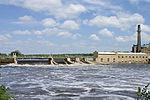
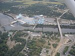
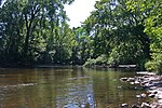
The Watab River, also known as Watab Creek, is a 9.8-mile-long (15.8 km) tributary of the Mississippi River in Stearns County in central Minnesota in the United States. It rises north of St. Joseph at the confluence of its North and South Forks, and flows northeast through Watab Lake, then east into the Mississippi River at Sartell. The North Fork Watab River, 6.9 miles (11.1 km) long, rises in Island Lake, a small creek feeds Pflueger Lake, flows northeasterly to Stumpf Lake, then southeasterly near Collegeville, merging with the South Fork near St. Joseph. The South Fork Watab River, 12.7 miles (20.4 km) long, flows southeast from Big Watab Lake to Little Watab Lake, and through a pond before flowing northeast and into North Fork Watab River.
Excerpt from the Wikipedia article Watab River (License: CC BY-SA 3.0, Authors, Images).Watab River
Riverside Avenue North,
Geographical coordinates (GPS) Address Nearby Places Show on map
Geographical coordinates (GPS)
| Latitude | Longitude |
|---|---|
| N 45.619722222222 ° | E -94.205833333333 ° |
Address
Riverside Avenue North 88
56377
Minnesota, United States
Open on Google Maps


