Tahquitz Peak

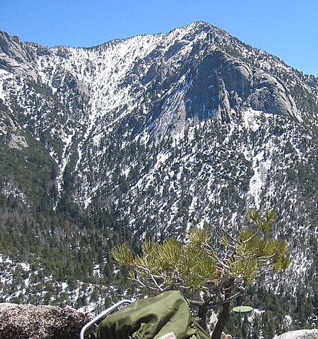
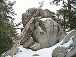
Tahquitz Peak (pronounced , sometimes ) is a granite, 8,846-foot-tall (2,696 m) rock formation located on the high western slope of the San Jacinto mountain range in Riverside County, Southern California, United States, above the mountain town of Idyllwild. Tahquitz has a steep approach hike (approximately 800-foot elevation gain in a half mile), leading to a roughly 1000-foot face. Tahquitz, which can refer to both the rock outcrop and the outcrop's parent peak, is a popular hiking destination to the fire lookout station and the rock climbing area. The Yosemite Decimal System, widely used in North America to classify hiking and climbing routes, was developed into its modern form at Tahquitz Peak.
Excerpt from the Wikipedia article Tahquitz Peak (License: CC BY-SA 3.0, Authors, Images).Tahquitz Peak
South Ridge Trail (3E08),
Geographical coordinates (GPS) Address Nearby Places Show on map
Geographical coordinates (GPS)
| Latitude | Longitude |
|---|---|
| N 33.7552984 ° | E -116.6769621 ° |
Address
Tahquitz Peak Fire Lookout
South Ridge Trail (3E08)
92599
California, United States
Open on Google Maps


