Hünersedel
Baden-Württemberg geography stubsMountains and hills of Baden-WürttembergMountains and hills of the Black Forest

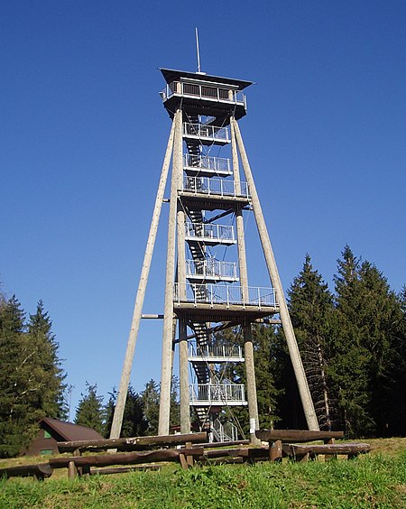
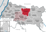
The Hünersedel is a mountain located in the middle of the Black Forest, Germany, near the Schuttertal and the town of Freiamt. The mountain is 744 metres high and the source of the river Schutter. The viewing tower on its top is 29 metres high and was erected in 2004.
Excerpt from the Wikipedia article Hünersedel (License: CC BY-SA 3.0, Authors, Images).Hünersedel
Hohsteinweg, Verwaltungsgemeinschaft Seelbach
Geographical coordinates (GPS) Address Nearby Places Show on map
Geographical coordinates (GPS)
| Latitude | Longitude |
|---|---|
| N 48.204722222222 ° | E 7.9713888888889 ° |
Address
Grillplatz am Aussichtsturm
Hohsteinweg
77978 Verwaltungsgemeinschaft Seelbach
Baden-Württemberg, Germany
Open on Google Maps


