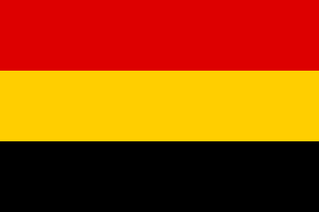
Principality of Waldeck and Pyrmont

The County of Waldeck (later the Principality of Waldeck and Principality of Waldeck and Pyrmont) was a state of the Holy Roman Empire and its successors from the late 12th century until 1929. In 1349 the county gained Imperial immediacy and in 1712 was raised to the rank of principality. After the dissolution of the Holy Roman Empire in 1806 it was a constituent state of its successors: the Confederation of the Rhine, the German Confederation, the North German Confederation, and the German Empire. After the abolition of the monarchy in 1918, the renamed Free State of Waldeck-Pyrmont became a component of the Weimar Republic until divided between Hannover and other Prussian provinces in 1929. It comprised territories in present-day Hesse and Lower Saxony (Germany).
Excerpt from the Wikipedia article Principality of Waldeck and Pyrmont (License: CC BY-SA 3.0, Authors, Images).Principality of Waldeck and Pyrmont
Thielebachstraße, Bad Arolsen
Geographical coordinates (GPS) Address Nearby Places Show on map
Geographical coordinates (GPS)
| Latitude | Longitude |
|---|---|
| N 51.366666666667 ° | E 9.0166666666667 ° |
Address
Thielebachstraße
Thielebachstraße
34454 Bad Arolsen
Hesse, Germany
Open on Google Maps


