Dines Green
Geography of Worcester, England

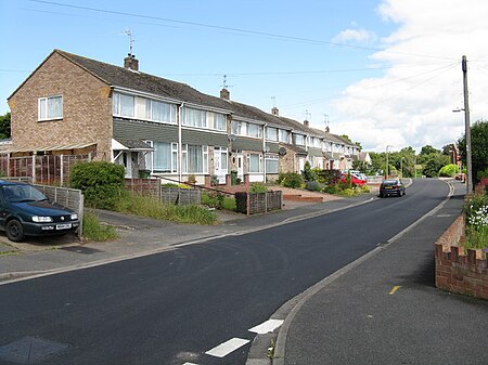
Dines Green is a suburb of Worcester in England, and lies in the St. John ward in the west of the city . Initially developed as council housing, the estate now consists of a mix of council and privately owned homes: 49% of households were renting from the council or another landlord at the 2001 census.
Excerpt from the Wikipedia article Dines Green (License: CC BY-SA 3.0, Authors, Images).Dines Green
Shakespeare Road, Worcester, England Dines Green
Geographical coordinates (GPS) Address Nearby Places Show on map
Geographical coordinates (GPS)
| Latitude | Longitude |
|---|---|
| N 52.192403 ° | E -2.254086 ° |
Address
Green Centre
Shakespeare Road
WR2 5QW Worcester, England, Dines Green
England, United Kingdom
Open on Google Maps


