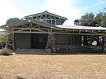
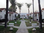
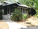
Olive Heights, Pasadena, California
Los Angeles County, California geography stubsNeighborhoods in Pasadena, California
Olive Heights is the most densely populated neighborhood in Pasadena, California.It is bordered by Mountain Street to the north, Walnut Street to the south, El Molino Avenue to the west, and Lake Avenue to the east.
Excerpt from the Wikipedia article Olive Heights, Pasadena, California (License: CC BY-SA 3.0, Authors).Olive Heights, Pasadena, California
Santa Barbara Street, Pasadena
Geographical coordinates (GPS) Address Nearby Places Show on map
Geographical coordinates (GPS)
| Latitude | Longitude |
|---|---|
| N 34.156201 ° | E -118.134574 ° |
Address
The Carnegie Observatories
Santa Barbara Street
91101 Pasadena
California, United States
Open on Google Maps


