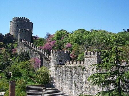
Sarıyer
BosphorusDistricts of Istanbul ProvinceEdge cities in TurkeyFishing communities in TurkeyMetropolitan district municipalities in Turkey ... and 3 more
Pages with Turkish IPAPopulated places in Istanbul ProvinceSarıyer

Sarıyer (pronounced [saˈɾɯjeɾ]) is a municipality and district of Istanbul Province, Turkey. Its area is 177 km2, and its population is 350,454 (2022). It is on the northeastern part of Istanbul's European side. Sarıyer also administers the Black Sea coast to the west of the mouth of the Bosphorus, including the neighbourhood of Kilyos. It borders Eyüpsultan to the northwest, Beşiktaş to the south and Kağıthane to the west. The mayor is Şükrü Genç of the Republican People's Party (CHP).
Excerpt from the Wikipedia article Sarıyer (License: CC BY-SA 3.0, Authors, Images).Sarıyer
Köybaşı Caddesi,
Geographical coordinates (GPS) Address Nearby Places Show on map
Geographical coordinates (GPS)
| Latitude | Longitude |
|---|---|
| N 41.166944444444 ° | E 29.057222222222 ° |
Address
Köybaşı Caddesi
Köybaşı Caddesi
34450 , Merkez Mahallesi
Turkey
Open on Google Maps


