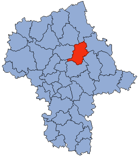
Wyszków County

Wyszków County (Polish: powiat wyszkowski) is a unit of territorial administration and local government (powiat) in Masovian Voivodeship, east-central Poland. It originally existed from 1956 until the abolition of the powiats in 1975, but was re-created on January 1, 1999, as a result of the Polish local government reforms passed in 1998, which reintroduced the powiats and created 16 large voivodeships. The administrative seat and only town in the county is Wyszków, which lies 53 kilometres (33 mi) north-east of Warsaw. The county covers an area of 876.49 square kilometres (338.4 sq mi). As of 2019 its total population is 74,094, out of which the population of Wyszków is 26,905, and the rural population is 47,189.
Excerpt from the Wikipedia article Wyszków County (License: CC BY-SA 3.0, Authors, Images).Wyszków County
Kościelna, gmina Wyszków
Geographical coordinates (GPS) Address Nearby Places Show on map
Geographical coordinates (GPS)
| Latitude | Longitude |
|---|---|
| N 52.593333333333 ° | E 21.46 ° |
Address
Kościelna
Kościelna
02-700 gmina Wyszków
Masovian Voivodeship, Poland
Open on Google Maps
