place

Church Laneham

Bassetlaw DistrictEngvarB from May 2016Hamlets in NottinghamshireNottinghamshire geography stubs
UK ChurchLaneham
UK ChurchLaneham

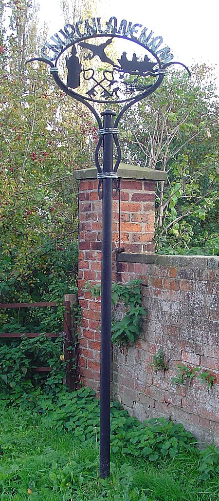
Church Laneham is a hamlet in Nottinghamshire, England. It is located 9 miles east of Retford, on the west bank of the tidal section of the River Trent. The hamlet is within the Laneham civil parish, and is ½ mile to the east of Laneham. It was an estate village of the Bishop of York, and the location of a ferry crossing of the river, commemorated by the name of the public house The Ferry Boat Inn which continues to operate opposite the lane which used to be the entrance to the ferry port. It is in the Tuxford and Trent ward of Bassetlaw Council.

Excerpt from the Wikipedia article Church Laneham (License: CC BY-SA 3.0, Authors, Images).

Church Laneham
Main Street, Bassetlaw Laneham

Geographical coordinates (GPS) Address Nearby Places
placeShow on map

Wikipedia: Church LanehamContinue reading on Wikipedia

Geographical coordinates (GPS)

Latitude Longitude
N 53.28 ° E -0.78 °
placeShow on map

Address

Main Street

Main Street
DN22 0NQ Bassetlaw, Laneham
England, United Kingdom
mapOpen on Google Maps

UK ChurchLaneham
UK ChurchLaneham
Share experience

Nearby Places

Cottam power stations

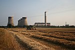
Cottam power station is a decommissioned coal-fired power station. The site extends over 620 acres (250 ha) of mainly arable land and is situated at the eastern edge of Nottinghamshire on the west bank of the River Trent at Cottam near Retford. The larger coal-fired station, was decommissioned by EDF Energy in 2019 in line with the UK's goal to meet its zero-coal power generation by 2025. The smaller in-use station is Cottam Development Centre, a combined cycle gas turbine plant commissioned in 1999, with a generating capacity of 440 MW. This plant is owned by Uniper. The site is one of a number of power stations located along the Trent valley. The West Burton power stations are 3.5 miles (5.6 km) downstream and Ratcliffe-on-Soar power station is 52 miles (84 km) upstream. The decommissioned High Marnham Power Station was 6 miles (9.7 km) upstream. Under the Central Electricity Generating Board in 1981/82 Cottam power station was awarded the Christopher Hinton trophy in recognition of good housekeeping the award was presented by junior Energy Minister David Mellor. After electricity privatisation in 1990, ownership moved to Powergen. In October 2000, the plant was sold to London Energy, who are part of EDF Energy, for £398 million. In January 2019, EDF Energy announced that the coal station was due to cease generation in September 2019 after more than 50 years of operation. The station closed as planned on 30 September 2019. Demolition of Cottam Power Station began in 2021, with Brown and Mason carrying out the works.

Newton on Trent
Newton on Trent

Newton on Trent is a village and civil parish in the West Lindsey district of Lincolnshire, England. The population of the civil parish at the 2011 census was 389. The village is situated east of the River Trent, and is 10 miles (16 km) south of Gainsborough, 10 miles (16 km) west of Lincoln, and at the junction of the A57 running east to west, and the A1133 running north to south.West of the village, between it and the Trent, is the site of a Roman fort. It was discovered in 1962, and probably dates from the Claudian period. The area enclosed is likely to have been at least 30 acres (0.1 km2). Fortresses of this size are not sufficiently large for a whole Roman legion, but would be adequate for a half-legion. Classified as a vexillation (smaller) fortress, it is an ancient scheduled monument.The village is listed in the 1086 Domesday Book as "Neutone", with 100 acres (0.4 km2) of meadow. The Grade II* listed church is dedicated to Saint Peter and dates from the 12th century with later alterations and an 1876 restoration. The 12th-century tower is of four stages, and there is an early 13th-century west doorway.There are several Grade II listed buildings in the village: White House farm house which dates from the 15th century, Hall Farm House, of painted brick, which dates from 1656, the red brick Old Hall Farmhouse which dates from 1695, and The Reindeer, a 17th-century red-brick public house.Newton on Trent CE Primary School serves the village. Originally built as a parochial school in 1857, it was restored in 1880.The most significant graves in the churchyard are of the wife and daughter of the Methodist missionary, John Hunt; the daughter's stone records that she was born in Fiji, the family returning to England after Hunt's death. His name is still held in high esteem in Fiji. The Dunham Bridge crosses the River Trent into the village of Dunham in the county of Nottinghamshire. The original toll bridge was built in 1837, had four segmental cast iron arches on ashlar piers and cast iron railings. The bridge superstructure was rebuilt in steel in 1975–76, retaining the original piers; a new toll booth facility was constructed in 1994.