Clayworth
Bassetlaw DistrictCivil parishes in NottinghamshireEngvarB from May 2016Villages in Nottinghamshire

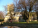
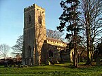
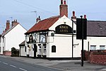
Clayworth is a village and civil parish in Nottinghamshire, England. At the time of the 2001 census it had a population of 319, increasing to 419 at the 2011 Census. The village is located 6 miles (9.7 km) north-east of Retford, on the River Idle. Clayworth appears as Clavord in the Doomsday Book, where 37 households were registered in the parish, which in the context of the Doomsday Book was considered to be a large population. At that time Clayworth paid low amounts of tax at 2 geld units. By 1769 Clayworth appears as Cloworth. Clayworth was described in John Bartholomew's Gazetteer of the British Isles of 1887 as having a population of 439, with 2,076 acres of land.
Excerpt from the Wikipedia article Clayworth (License: CC BY-SA 3.0, Authors, Images).Clayworth
#68, Bassetlaw
Geographical coordinates (GPS) Address Nearby Places Show on map
Geographical coordinates (GPS)
| Latitude | Longitude |
|---|---|
| N 53.383333 ° | E -0.911361 ° |
Address
#68
#68
DN22 9AA Bassetlaw
England, United Kingdom
Open on Google Maps


