Styhead Tarn
AllerdaleCumbria geography stubsLakes of the Lake District
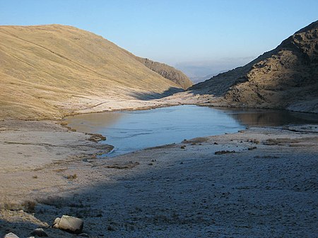
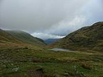
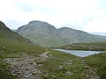
Styhead Tarn is a tarn in the English Lake District, near the top of the Sty Head pass at the head of Borrowdale. It is on the route from Wasdale to Borrowdale and is, therefore, a well-visited point in the Lake District. It is also passed by walkers ascending Scafell Pike from Borrowdale via the Corridor Route. It is permissible to fish the tarn, which contains wild brown trout. The Styhead Gill is the tarn's outlet which, flows into the River Derwent.
Excerpt from the Wikipedia article Styhead Tarn (License: CC BY-SA 3.0, Authors, Images).Styhead Tarn
Corridor Route,
Geographical coordinates (GPS) Address Nearby Places Show on map
Geographical coordinates (GPS)
| Latitude | Longitude |
|---|---|
| N 54.478055555556 ° | E -3.2027777777778 ° |
Address
Corridor Route
Corridor Route
CA12 5XJ , Wasdale
England, United Kingdom
Open on Google Maps
