Capitol Area Historic District

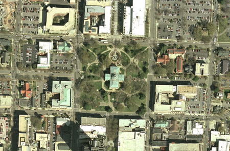
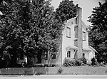
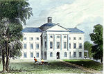
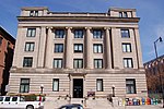
The Capitol Area Historic District is a national historic district located at Raleigh, North Carolina. The district encompasses 25 contributing buildings and was developed after 1792. The district includes notable examples of Classical Revival and Late Gothic Revival style architecture. Located in the district are the following separately listed buildings: Agriculture Building, at 2 W. Edenton St. Church of the Good Shepherd at 121 Hillsborough St Christ Episcopal Church, at 120 E. Edenton St. Richard B. Haywood House, at 127 E. Edenton St. Haywood Hall, at 211 New Bern Pl., North Carolina State Capitol, 1 E Edenton St. Raleigh Water Tower, 115 W. Morgan St. State Bank of North Carolina, at 123 New Bern Pl. Sacred Heart Church at 219 W Edenton St. White-Holman House, New Bern Ave. All Saints Chapel, at 110 S. East St.Other notable buildings include the First Baptist Church (1859), Supreme Court and State Library Building (1888), Ruffin Building (1913), Revenue Building (1927), Education Building (1938, 1947), Justice Building (1939-1940), Highway Building (1950), Dr. Andrew Watson Goodwin House, and Montgomery House (1906).It is also one of six Historic Overlay Districts in Raleigh. It was listed in 1978 on the National Register of Historic Places.
Excerpt from the Wikipedia article Capitol Area Historic District (License: CC BY-SA 3.0, Authors, Images).Capitol Area Historic District
South Wilmington Street, Raleigh Warehouse District
Geographical coordinates (GPS) Address Nearby Places Show on map
Geographical coordinates (GPS)
| Latitude | Longitude |
|---|---|
| N 35.78 ° | E -78.6375 ° |
Address
North Carolina Department of Transportation
South Wilmington Street
27603 Raleigh, Warehouse District
North Carolina, United States
Open on Google Maps


