Chapet
Communes of YvelinesPages including recorded pronunciationsPages with French IPAYvelines geography stubs

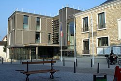
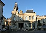
Chapet (French pronunciation: [ʃapɛ] ) is a commune in the Yvelines department in the Île-de-France region in north-central France, about 16 km east of Mantes-la-Jolie. It is on the Normandy motorway (A13). The commune's neighbours are Verneuil-sur-Seine to the northeast, to the east is Vernouillet, with Morainvilliers to the southeast, Ecquevilly to the southwest, and to the northwest is Les Mureaux. It is a largely rural and agricultural community; the land is divided mainly between arable crops (cereals, oilseed rape) with some woods and forest. The parish church of Saint-Denis dates from the 12th century. The bell-tower was added in 1859.
Excerpt from the Wikipedia article Chapet (License: CC BY-SA 3.0, Authors, Images).Chapet
Rue de Brézolles, Mantes-la-Jolie
Geographical coordinates (GPS) Address Nearby Places Show on map
Geographical coordinates (GPS)
| Latitude | Longitude |
|---|---|
| N 48.9672 ° | E 1.9344 ° |
Address
Rue de Brézolles 2
78130 Mantes-la-Jolie
Ile-de-France, France
Open on Google Maps


