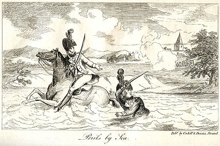
Battle of Tourcoing

The Battle of Tourcoing (17–18 May 1794) saw a Republican French army directed by General of Division Joseph Souham defend against an attack by a Coalition army led by Emperor Francis II and Austrian Prince Josias of Saxe-Coburg-Saalfeld. The French army was temporarily led by Souham in the absence of its normal commander Jean-Charles Pichegru. Threatened with encirclement, Souham and division commanders Jean Victor Marie Moreau and Jacques Philippe Bonnaud improvised a counterattack which defeated the Coalition's widely separated and poorly coordinated columns. The War of the First Coalition action was fought near the town of Tourcoing, north of Lille in northeastern France. The Coalition battle plan drawn up by Karl Mack von Leiberich launched six columns that attempted to envelop part of the French army holding an awkward bulge at Menen (Menin) and Kortrijk (Courtrai). On 17 May, the French defeated Georg Wilhelm von dem Bussche's small column while the columns of Count François of Clerfayt, Count Franz Joseph of Kinsky, and Archduke Charles made slow progress. On 18 May, Souham concentrated his main strength on the two center columns under the command of Prince Frederick, Duke of York and Albany and Rudolf Ritter von Otto, inflicting a costly setback on the Coalition's Austrian, British, Hanoverian, and Hessian troops. The action is sometimes referred to as the Battle of Tourcoin, a gesture towards the English pronunciation of the town.
Excerpt from the Wikipedia article Battle of Tourcoing (License: CC BY-SA 3.0, Authors, Images).Battle of Tourcoing
Rue de la Baille, Lille
Geographical coordinates (GPS) Address Nearby Places Show on map
Geographical coordinates (GPS)
| Latitude | Longitude |
|---|---|
| N 50.73235 ° | E 3.1548 ° |
Address
Rue de la Baille
Rue de la Baille
59200 Lille, Malcense Égalité
Hauts-de-France, France
Open on Google Maps


