Bretby
South Derbyshire DistrictVillages in Derbyshire

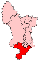
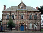
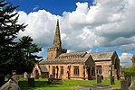
Bretby is a village and civil parish in the south of Derbyshire, England, north of Swadlincote and east of Burton upon Trent, on the border between Derbyshire and Staffordshire. The population of the civil parish as of the 2011 census was 893. The name means "dwelling place of Britons". On the A511 road (formerly A50), there is a secondary settlement, Stanhope Bretby, which was the site of Bretby Colliery.
Excerpt from the Wikipedia article Bretby (License: CC BY-SA 3.0, Authors, Images).Bretby
Watery Lane, South Derbyshire Bretby
Geographical coordinates (GPS) Address Nearby Places Show on map
Geographical coordinates (GPS)
| Latitude | Longitude |
|---|---|
| N 52.804 ° | E -1.566 ° |
Address
Watery Lane
Watery Lane
DE15 0RG South Derbyshire, Bretby
England, United Kingdom
Open on Google Maps


