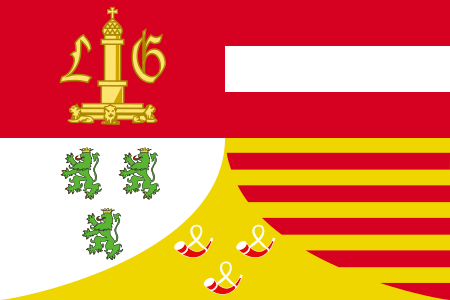
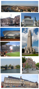
Liège Province

Liège (French: [ljɛʒ] (listen); Walloon: Lîdje [liːtʃ]; Dutch: Luik [lœyk] (listen); German: Lüttich [ˈlʏtɪç] (listen)) is the easternmost province of the Wallonia region of Belgium. Liège Province is the only Belgian province that has borders with three countries. It borders (clockwise from the north) the Dutch province of Limburg, the German states of North Rhine-Westphalia and Rhineland-Palatinate, the Luxembourgish canton of Clervaux, the Belgian Walloon (French-speaking) provinces of Luxembourg, Namur and Walloon Brabant and the Belgian Flemish (Dutch-speaking) provinces of Flemish Brabant and Limburg. Part of the eastern-most area of the province, bordering Germany, is the German-speaking region of Eupen-Malmedy, which became part of Belgium in the aftermath of World War I. The capital and the largest city of the province is the city of the same name, Liège. The province has an area of 3,857 km2 (1,489 sq mi), and a population of 1,106,992 as of January 2019.
Excerpt from the Wikipedia article Liège Province (License: CC BY-SA 3.0, Authors, Images).Liège Province
Boulevard d'Avroy, Liège
Geographical coordinates (GPS) Address Nearby Places Show on map
Geographical coordinates (GPS)
| Latitude | Longitude |
|---|---|
| N 50.633333333333 ° | E 5.5666666666667 ° |
Address
Boulevard d'Avroy 192
4000 Liège
Liège, Belgium
Open on Google Maps


