Rhydyfelin
EngvarB from February 2016PontypriddVillages in Rhondda Cynon Taf

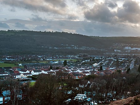
Rhydyfelin (Welsh pronunciation: [r̥ɨdəˈvɛlɪn], Mill Ford) is a large village (originally known as Rhydfelen) and part of the community of Pontypridd Town, about two miles to its south east of Pontypridd, in the county borough of Rhondda Cynon Taf. It is on the eastern bank of the River Taff close to the A470, and historically was in the parish of Eglwysilan.
Excerpt from the Wikipedia article Rhydyfelin (License: CC BY-SA 3.0, Authors, Images).Rhydyfelin
Elm Street,
Geographical coordinates (GPS) Address Nearby Places Show on map
Geographical coordinates (GPS)
| Latitude | Longitude |
|---|---|
| N 51.58666 ° | E -3.305103 ° |
Address
Elm Street
Elm Street
CF37 5DG
Wales, United Kingdom
Open on Google Maps

