place

Colaton Raleigh

Devon geography stubsVillages in Devon
Colaton Raleigh Devon

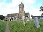
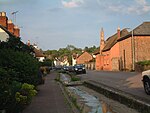
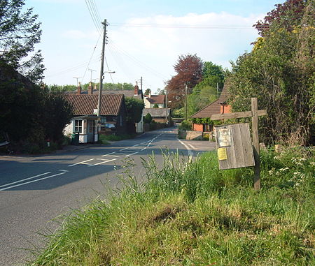
Colaton Raleigh is a village and civil parish in East Devon, England. The parish is surrounded clockwise from the north by the parishes of Aylesbeare, Newton Poppleford and Harpford, Otterton, Bicton, Woodbury and a small part of Farringdon.The village is located to the west of the River Otter on the B3178 road between Newton Poppleford to the north and East Budleigh to the south. The village is mentioned in the Domesday Book stating it had 20 villagers, 8 smallholders and 6 slaves. In 1066 it was owned by Earl Harold (King Harold II) before passing to King William after Harold's defeat at the Battle of Hastings. The church is dedicated to St John the Baptist. The village has a shop named "Woods Village Stores" in the centre next to the B3178 road. Bus route 157 operated by Stagecoach South West runs hourly towards Exmouth and Sidmouth through the village. The village's public house is called the Otter Inn; its large garden contains monkey puzzle trees.

Excerpt from the Wikipedia article Colaton Raleigh (License: CC BY-SA 3.0, Authors, Images).

Colaton Raleigh
Shepherds Lane, East Devon Colaton Raleigh

Geographical coordinates (GPS) Address Nearby Places
placeShow on map

Wikipedia: Colaton RaleighContinue reading on Wikipedia

Geographical coordinates (GPS)

Latitude Longitude
N 50.677959 ° E -3.301555 °
placeShow on map

Address

Shepherds Lane

Shepherds Lane
EX10 0LP East Devon, Colaton Raleigh
England, United Kingdom
mapOpen on Google Maps

Colaton Raleigh Devon
Share experience

Nearby Places

Newton Poppleford
Newton Poppleford

Newton Poppleford is a large village and former civil parish situated on the A3052 road between Exeter and Sidmouth on the west side of the River Otter, now in the parish of Newton Poppleford and Harpford in East Devon, England, within the East Devon AONB. Newton Poppleford is twinned with Crèvecœur-en-Auge in Normandy, France. In 2019 it had an estimated population of 1784. In 1931 the parish had a population of 447.The village is on the route of a Roman road from Axmouth to Exeter. It includes some whitewashed cob thatched cottages, one shop and St Luke's Church which was founded in 1331 (with the current structure dating from 1897). The town contains a village hall, primary school and sports pavilion. There was also a church hall, however it was burnt down in 2012 when fire spread from a nearby shed, possibly a result of arson. A carnival procession used to travel through the village in the autumn, although this was stopped in 2014. Newton Poppleford railway station closed in 1967 and was subsequently demolished. The church hall has since been rebuilt. The surroundings are known for market gardening because of the excellent soil quality in the area. A variety of daffodil (the King Alfred) was originated in the village and received an award from the Royal Horticultural Society in 1899. This renowned flower, with its large colourful trumpets, was first cultivated in the house of 'The Gardens' and premises, which is found in the centre of the village. It is one of the oldest houses in the village, dating back to the 15th Century, with cob walls and thatched roof with a quaint brook (small tributary) passing through the garden joining the River Otter. There are also fruit farms nearby. The name Newton Poppleford means 'The New Town by the Pebble Ford.' It was originally settled by the Saxons and founded as a 'new town' in the 13th century by the Lord of the Manor of Aylesbeare. He was granted the right to hold a market, which was originally sited at the centre of the town. The East Devon Way path passes close by. Questions and answers for the many British editions of the board game Trivial Pursuit were written at Bowhay Cottage in Newton Poppleford for 25 years by Brian Highley. The Newton Poppleford Local History Group formed in 2014 to record and document local history and memories of local people.