place

Village Green, Los Angeles

1942 establishments in CaliforniaApartment buildings in Los AngelesBaldwin Hills, Los AngelesCrenshaw, Los AngelesHistoric districts in Los Angeles
Historic districts on the National Register of Historic Places in CaliforniaLos Angeles Historic-Cultural MonumentsModernist architecture in CaliforniaNRHP infobox with nocatNational Historic Landmarks in CaliforniaNational Register of Historic Places in Los AngelesNeighborhoods in Los AngelesPlanned residential developmentsResidential buildings completed in 1942Residential condominiums in the United StatesUse mdy dates from August 2023
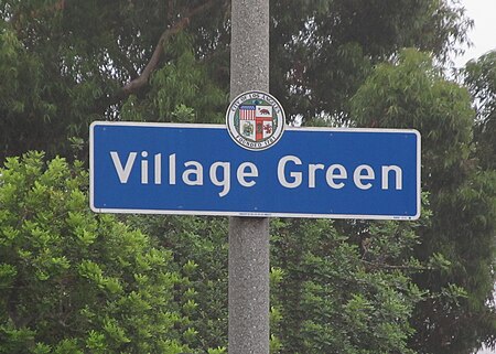
Village Green Signage

Village Green, originally named Baldwin Hills Village, is a neighborhood at the foot of Baldwin Hills, within the city of Los Angeles, California. Village Green consists of a large condominium complex that is both a Los Angeles Historic-Cultural Monument and a National Historic Landmark. Designed in the late 1930s and completed by 1942, it is one of the oldest planned communities of its type in the nation. Village Green was named by The American Institute of Architects as one of the 100 most important architectural achievements in U.S. history.

Excerpt from the Wikipedia article Village Green, Los Angeles (License: CC BY-SA 3.0, Authors, Images).

Village Green, Los Angeles
Court 5, Los Angeles West Adams

Geographical coordinates (GPS) Address Nearby Places
placeShow on map

Wikipedia: Village Green, Los AngelesContinue reading on Wikipedia

Geographical coordinates (GPS)

Latitude Longitude
N 34.019722222222 ° E -118.36083333333 °
placeShow on map

Address

Court 5

Court 5
90016 Los Angeles, West Adams
California, United States
mapOpen on Google Maps

Village Green Signage
Share experience

Nearby Places

Baldwin Hills Dam disaster

The Baldwin Hills Dam disaster occurred on December 14, 1963 (1963-12-14) in the Baldwin Hills neighborhood of South Los Angeles, when the dam containing the Baldwin Hills Reservoir suffered a catastrophic failure and flooded the residential neighborhoods surrounding it. It began with signs of lining failure, followed by increasingly serious leakage through the dam at its east abutment. After three hours, the dam breached, and "it took only 77 minutes for all the water to pour out into Cloverdale Avenue, La Brea Avenue, La Cienega and Jefferson Boulevard." The collapse resulted in a release of 290 million US gallons (1,100,000 m3), causing five deaths and the destruction of 277 homes. Damage totaled $12 million and the disaster caused a water shortage for 500,000 people. Some 16,000 people lived in the flooded area. Vigorous rescue efforts averted a greater loss of life.The reservoir was constructed on a low hilltop between 1947 (1947) and 1951 (1951) by the Los Angeles Department of Water and Power, directly on an active fault line, which was subsidiary to the well-known nearby Newport–Inglewood Fault. The underlying geologic strata were considered unstable for a reservoir, and the design called for a compacted soil lining meant to prevent seepage into the foundation. The fault lines were considered during planning, but were deemed by some, although not all, of the engineers and geologists involved as not significant.The former reservoir is now part of the Kenneth Hahn State Recreation Area. A plaque was placed at the site on the 50th anniversary of the disaster in 2013.