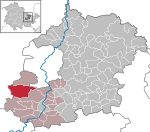
Uhlstädt-Kirchhasel
Municipalities in ThuringiaSaalfeld-RudolstadtThuringia geography stubs

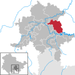
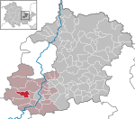
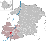
Uhlstädt-Kirchhasel is a municipality in the district Saalfeld-Rudolstadt, in Thuringia, Germany. On 1 December 2007, the former municipalities Großkochberg and Heilingen were incorporated by Uhlstädt-Kirchhasel. The valley of the river Saale is the centre of Uhlstädt-Kirchhasel. Both Uhlstädt and Kirchhasel are villages inside this valley, which divides the municipality into a northern and a southern part. The nearest bigger towns are Rudolstadt (about 7 km away), Saalfeld (about 11 km away) and Jena (about 25 km away). The 32 local subdivisions of this municipality are:(inhabitants)
Excerpt from the Wikipedia article Uhlstädt-Kirchhasel (License: CC BY-SA 3.0, Authors, Images).Uhlstädt-Kirchhasel
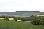
Bahnhofstraße, Uhlstädt-Kirchhasel
Geographical coordinates (GPS) Address Nearby Places Show on map
Geographical coordinates (GPS)
| Latitude | Longitude |
|---|---|
| N 50.741944444444 ° | E 11.465833333333 ° |
Address
Bahnhofstraße
Bahnhofstraße
07407 Uhlstädt-Kirchhasel
Thuringia, Germany
Open on Google Maps


