Longbridge Deverill

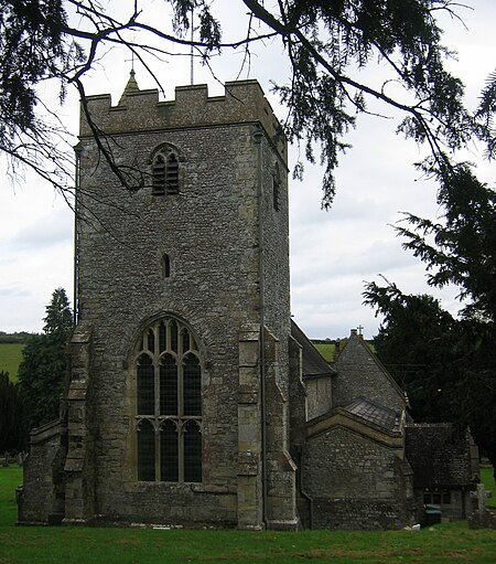
Longbridge Deverill is a village and civil parish about 2.5 miles (4.0 km) south of Warminster in Wiltshire, England. It is on the A350 primary route which connects the M4 motorway and west Wiltshire with Poole, Dorset. The parish is in the Deverill valley which carries the upper waters of the River Wylye. It includes the small village of Crockerton and the hamlets of Crockerton Green, Fox Holes and Hill Deverill; these settlements are collectively known as the Lower Deverills (the Upper Deverills being the upstream villages of Brixton Deverill, Monkton Deverill and Kingston Deverill). An unnamed tributary of the Wylye rises in the northwest of the parish, forms the man-made Shearwater lake, and flows east through the valley below Crockerton to join the Wylye.
Excerpt from the Wikipedia article Longbridge Deverill (License: CC BY-SA 3.0, Authors, Images).Longbridge Deverill
A350,
Geographical coordinates (GPS) Address Nearby Places Show on map
Geographical coordinates (GPS)
| Latitude | Longitude |
|---|---|
| N 51.165 ° | E -2.187 ° |
Address
A350
BA12 7EB , Longbridge Deverill
England, United Kingdom
Open on Google Maps


