Hurepoix
Former provinces of FrancePages with French IPA

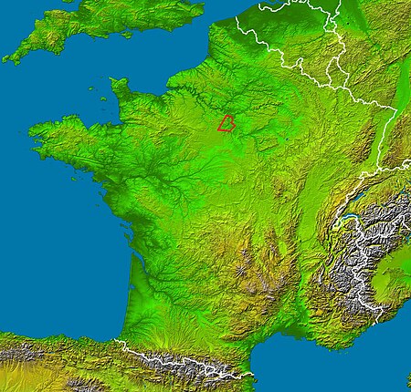
Hurepoix (French pronunciation: [yʁpwa]) is an area of the Île-de-France, to the southwest of Paris, situated between the departments of Yvelines, Hauts-de-Seine and Essonne. It was an old province of the French Kingdom and the main city was Dourdan.
Excerpt from the Wikipedia article Hurepoix (License: CC BY-SA 3.0, Authors, Images).Hurepoix
Chemin de Liphard à Rouillon, Étampes
Geographical coordinates (GPS) Address Nearby Places Show on map
Geographical coordinates (GPS)
| Latitude | Longitude |
|---|---|
| N 48.55 ° | E 2.02 ° |
Address
Chemin de Liphard à Rouillon
Chemin de Liphard à Rouillon
91410 Étampes
Ile-de-France, France
Open on Google Maps


