Dennisville, New Jersey
1726 establishments in New JerseyCensus-designated places in Cape May County, New JerseyCensus-designated places in New JerseyDennis Township, New JerseyPopulated places established in 1726 ... and 4 more
Unincorporated communities in Cape May County, New JerseyUnincorporated communities in New JerseyUse American English from December 2022Use mdy dates from December 2022

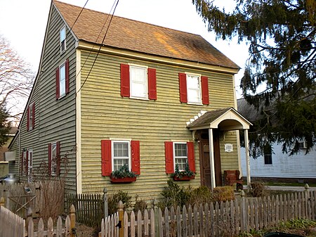
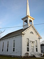
Dennisville is an unincorporated community and census-designated place (CDP) located within Dennis Township, in Cape May County, in the U.S. state of New Jersey. It is part of the Ocean City Metropolitan Statistical Area. Its postal ZIP Code is 08214. Dennisville is on the south side of Dennis Creek and is the most important community within Dennis Township. The main transportation artery is New Jersey Route 47 (Delsea Drive).
Excerpt from the Wikipedia article Dennisville, New Jersey (License: CC BY-SA 3.0, Authors, Images).Dennisville, New Jersey
North Delsea Drive, Dennis Township
Geographical coordinates (GPS) Address Nearby Places Show on map
Geographical coordinates (GPS)
| Latitude | Longitude |
|---|---|
| N 39.193055555556 ° | E -74.825277777778 ° |
Address
North Delsea Drive 1141
08270 Dennis Township
New Jersey, United States
Open on Google Maps


