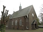
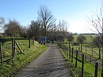
Bommelerwaard
Gelderland geography stubsRegions of GelderlandRegions of the Netherlands
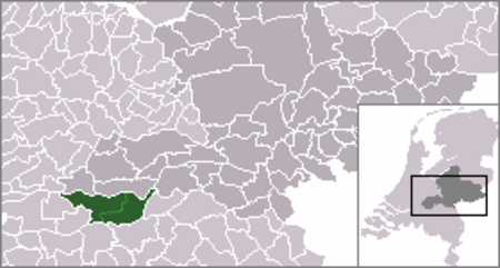
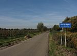
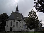
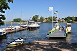
Bommelerwaard is a district in Gelderland, Netherlands. The Bommelerwaard is situated among three rivers: the Meuse (Dutch: Maas) in the south(east), the Waal in the north and the Afgedamde Maas in the west. It is formed by the area of two municipalities: Zaltbommel and Maasdriel.
Excerpt from the Wikipedia article Bommelerwaard (License: CC BY-SA 3.0, Authors, Images).Bommelerwaard
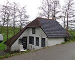
Delwijnsestraat, Zaltbommel
Geographical coordinates (GPS) Address Nearby Places Show on map
Geographical coordinates (GPS)
| Latitude | Longitude |
|---|---|
| N 51.775555555556 ° | E 5.1991666666667 ° |
Address
Delwijnsestraat 26
5316 BC Zaltbommel
Gelderland, Netherlands
Open on Google Maps


