Nether Alderley
Cheshire geography stubsCivil parishes in CheshireVillages in Cheshire

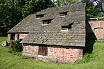
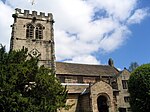
Nether Alderley is a village and civil parish in Cheshire, England, on the A34 a mile and a half south of Alderley Edge. The civil parish includes the hamlets of Monk's Heath and Soss Moss. At Monk's Heath crossroads, the A34 crosses the A537. The AstraZeneca research laboratories at Alderley Park house 260 cancer research scientists.At the 2011 census, the population was 665.
Excerpt from the Wikipedia article Nether Alderley (License: CC BY-SA 3.0, Authors, Images).Nether Alderley
Congleton Road,
Geographical coordinates (GPS) Address Nearby Places Show on map
Geographical coordinates (GPS)
| Latitude | Longitude |
|---|---|
| N 53.283795 ° | E -2.237393 ° |
Address
Congleton Road
Congleton Road
SK10 4TW , Nether Alderley
England, United Kingdom
Open on Google Maps


