Eckington, Derbyshire
Civil parishes in DerbyshireEckington, DerbyshireNorth East Derbyshire DistrictOpenDomesdayVillages in Derbyshire

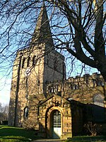
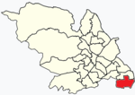
Eckington is a village and civil parish in North East Derbyshire, England. It is 7 miles (11 km) northeast of Chesterfield and 9 miles (14 km) southeast of Sheffield city centre, on the border with South Yorkshire. It lies on the B6052 and B6056 roads close to the A6135 for Sheffield and Junction 30 of the M1. It had a 2001 population of 11,152, increasing to 11,855 (including Bramley, Renishaw Marsh Lane and Troway) at the 2011 Census.
Excerpt from the Wikipedia article Eckington, Derbyshire (License: CC BY-SA 3.0, Authors, Images).Eckington, Derbyshire
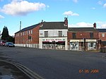
High Street, North East Derbyshire
Geographical coordinates (GPS) Address Nearby Places Show on map
Geographical coordinates (GPS)
| Latitude | Longitude |
|---|---|
| N 53.308 ° | E -1.3643 ° |
Address
High Street
High Street
S21 4DQ North East Derbyshire
England, United Kingdom
Open on Google Maps


