Yatton Keynell

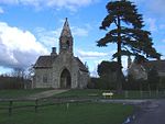
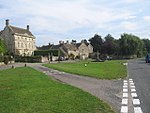
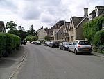
Yatton Keynell (pronounced "kennel") is a village and civil parish in Wiltshire, England. The village is on the B4039 road near Castle Combe, about 4 miles (6 km) northwest of Chippenham, and about the same distance to the east of the county border with South Gloucestershire. The parish includes the hamlets of Broomfield, Giddeahall, Long Dean, Tiddleywink and West Yatton. The Bybrook River forms part of the western parish boundary. The economy of the parish was historically agricultural although it is now more of a residential area for surrounding towns; its population in the first census of 1801 was 353 and by 2001 reached 745, rising further to 825 at the 2011 census. Yatton Keynell village is surrounded by a green belt and is largely a conservation area.
Excerpt from the Wikipedia article Yatton Keynell (License: CC BY-SA 3.0, Authors, Images).Yatton Keynell
B4039,
Geographical coordinates (GPS) Address Nearby Places Show on map
Geographical coordinates (GPS)
| Latitude | Longitude |
|---|---|
| N 51.486 ° | E -2.193 ° |
Address
B4039
SN14 7PJ , Yatton Keynell
England, United Kingdom
Open on Google Maps


