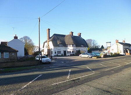
Odd Rode
Cheshire geography stubsCivil parishes in Cheshire

Odd Rode is a civil parish in the unitary authority of Cheshire East and the ceremonial county of Cheshire, England. It borders the Staffordshire parish of Kidsgrove, and includes the settlements of: Scholar Green Mow Cop Mount Pleasant Rode Heath Thurlwood The BankThe population of the civil parish as of the 2011 census was 5,442.Of particular note in the area is Rode Hall, seat of the Wilbraham family.
Excerpt from the Wikipedia article Odd Rode (License: CC BY-SA 3.0, Authors, Images).Odd Rode
Holehouse Lane,
Geographical coordinates (GPS) Address Nearby Places Show on map
Geographical coordinates (GPS)
| Latitude | Longitude |
|---|---|
| N 53.116 ° | E -2.254 ° |
Address
Holehouse Lane
Holehouse Lane
ST7 3SZ , Odd Rode
England, United Kingdom
Open on Google Maps


