Buglawton

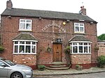
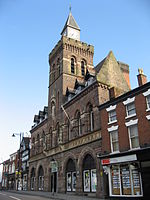
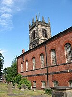
Buglawton is a suburb of Congleton, in the south-east of Cheshire. It was a parish and an urban district (i.e. effectively an independent town) from 1894 until 1936, when it was incorporated in Congleton borough. In 1931 the parish had a population of 1651.The Urban District Council consisted of six elected members and five officers, the latter including a council clerk, a surveyor and a rate and rent collector. The council was responsible for quite a large geographical area, greater in size than the borough of Congleton at that time though smaller in population and in buildings. Most of the 2580 acres which comprised the parish of Buglawton was used for dairy farming and the Council's area was generally more rural than industrial. The bulk of the population, however, lived and worked in a small area adjacent to the River Dane. The parish church of St John was built in 1841. The area of the former parish includes the hamlets of Timbersbrook, Key Green, Crossley and Havannah, Cheshire plus the Cheshire side of the Cloud. Buglawton was formerly a township and chapelry in Astbury parish, from 1866 Buglawton was a civil parish in its own right until it was abolished on 1 April 1936 and merged with Congleton, Eaton and North Rode.
Excerpt from the Wikipedia article Buglawton (License: CC BY-SA 3.0, Authors, Images).Buglawton
Buxton Old Road,
Geographical coordinates (GPS) Address Phone number Website Nearby Places Show on map
Geographical coordinates (GPS)
| Latitude | Longitude |
|---|---|
| N 53.170555555556 ° | E -2.1955555555556 ° |
Address
Buglawton Primary School
Buxton Old Road
CW12 2EL , Buglawton
England, United Kingdom
Open on Google Maps


