Haler
LeudalLimburg (Netherlands) geography stubsPopulated places in Limburg (Netherlands)

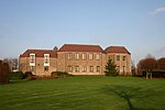
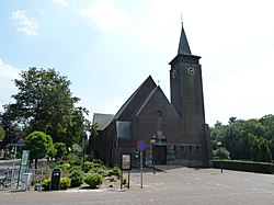
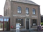
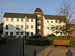
Haler (formerly known as Haler-Uffelse) is a village in the Dutch province of Limburg. It is a part of the municipality of Leudal and lies about 9 km southeast of Weert. The village was first mentioned in 1244 as Harle, and is a combination of "sandy ridge" and "open forest". Haler was home to 290 people in 1840. In 1952, a church was built.
Excerpt from the Wikipedia article Haler (License: CC BY-SA 3.0, Authors, Images).Haler
Hulmusweg, Leudal
Geographical coordinates (GPS) Address Nearby Places Show on map
Geographical coordinates (GPS)
| Latitude | Longitude |
|---|---|
| N 51.183333333333 ° | E 5.7833333333333 ° |
Address
Hulmusweg
Hulmusweg
6012 RP Leudal
Limburg, Netherlands
Open on Google Maps


