Heerlen
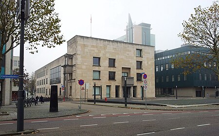
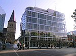
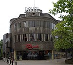
Heerlen (Dutch pronunciation: [ˈɦeːrlə(n)] ; Limburgish: Heële [ˈɦeə˦lə]) is a city and a municipality in the southeast of the Netherlands. It is the third largest settlement proper in the province of Limburg. Measured as municipality, it is the fourth municipality in the province of Limburg. Heerlen forms part of the city-region of Parkstad Limburg, an agglomeration with about 250,000 inhabitants and encompassing 8 municipalities. It is to the east of Maastricht and north of the German city of Aachen. After its early Roman beginnings and a modest medieval period, Heerlen became a centre for the coal mining industry in the Netherlands in the late 19th century. In the 20th century, architect Frits Peutz played a major role in shaping the city as we know it today. His most famous design, and a distinctive building in the city centre, is the so-called Glaspaleis (Glass Palace), listed as one of the world's thousand most architecturally important buildings of the 20th century.
Excerpt from the Wikipedia article Heerlen (License: CC BY-SA 3.0, Authors, Images).Heerlen
Sint Franciscusweg, Heerlen
Geographical coordinates (GPS) Address Nearby Places Show on map
Geographical coordinates (GPS)
| Latitude | Longitude |
|---|---|
| N 50.883333333333 ° | E 5.9833333333333 ° |
Address
Sint Franciscusweg
Sint Franciscusweg
6417 BJ Heerlen
Limburg, Netherlands
Open on Google Maps
